
Drone and LiDAR surveys of large sites and buildings
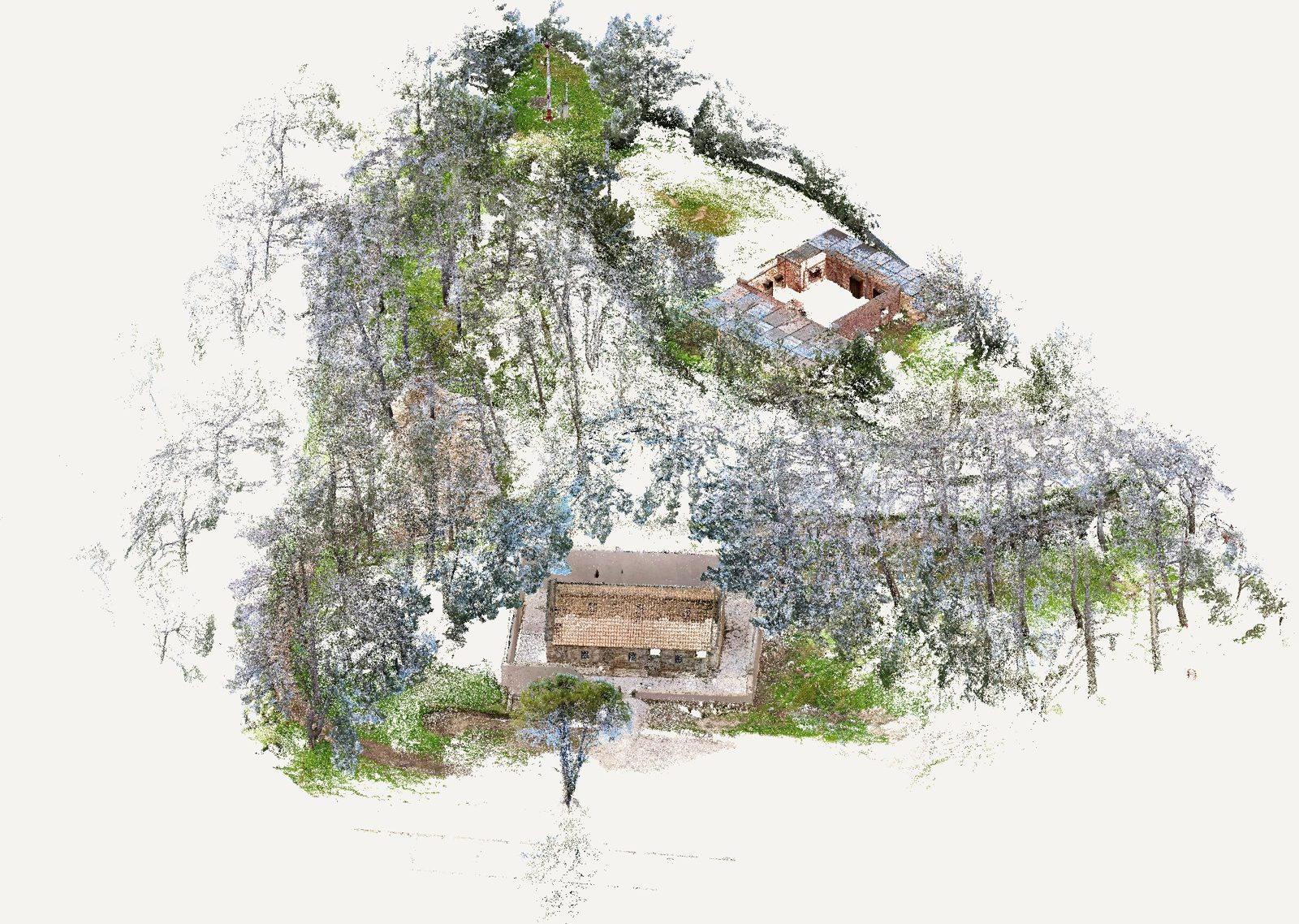
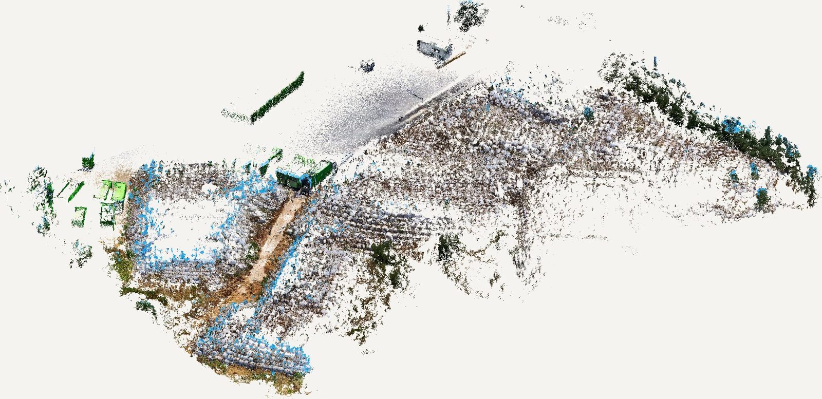
Drone photogrammetry, handheld SLAM LiDAR and RTK for plots, estates, hotel complexes and buildings. Faster, more complete capture of geometric data, delivered as orthophotos, point clouds and drawings in the national grid (GGRS87).
On large sites, hotel complexes or buildings with many rooms, point-by-point surveying is slow and leaves gaps. With drone and LiDAR we capture everything once, and derive whatever is needed later from the same data.
Every survey is tied to the Greek national grid (GGRS87) with RTK and check points, so it can be used for the Cadastre, permits, design work and investment decisions.
Scope
From field capture to drawings
- High-resolution orthophotos
- Digital terrain and surface models (DTM / DSM) and contours
- Topographic plans of large plots and farmland in GGRS87
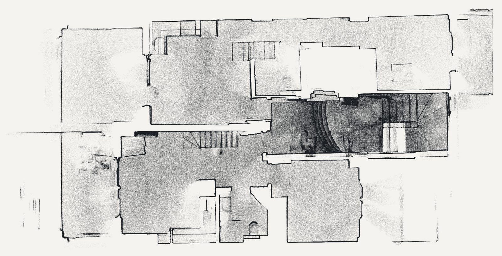
- LiDAR building surveys: plans, sections, elevations
- Scan-to-BIM for renovations and asset management
- Cut and fill volume calculations
- Cadastral and planning submission plans
- Periodic construction progress capture
When clients call us
When the site is large or the geometry complex.
Buying or developing a large property
True boundaries, slopes, access and existing structures: the base for every later decision.
Hotel complex
One survey of buildings and grounds for renovation, legalisation or asset management.
A building without drawings
Complete capture in one visit, so there is no need to return for missing dimensions.
Infrastructure and slopes
Quantities, movement monitoring and documentation for progress payments.
How we work
Planning
Extent, accuracy, flight permissions and control points.
Capture
Drone flights, LiDAR scanning and RTK measurements.
Processing
Point clouds, orthophotos, models and accuracy checks.
Delivery
DWG/DXF drawings, GIS files, model and accuracy report.
Deliverables
What you receive
- Orthophoto (GeoTIFF) and contours
- Point cloud (LAS/E57) and terrain model
- Topographic plan or measured drawings in DWG/DXF
- BIM model (IFC) where required
- Method and accuracy report
Questions
Frequently asked
What accuracy do you achieve?
It depends on flight height and control. Typically a few centimetres in plan for topographic work. Accuracy is measured on independent check points and stated in the report.
Are drone flights permitted everywhere?
Not everywhere. We check restricted zones such as airports and archaeological sites and obtain the necessary approvals before flying.
How long does a survey take?
It depends on the extent, vegetation, access, the point-cloud density needed and the required accuracy. The schedule is set out in writing in our proposal, once we have seen the site.
Other disciplines
- 01Existing buildings: structural assessment, redesign and repairAssessment to the Greek retrofit code (KAN.EPE / EC8-3), vertical extensions, changes of use, damage repair and strengthening. Every decision rests on site inspection, testing and a documented analysis model.
- 02Technical due diligence (DDR) and investment planningFor buyers, investors and clients based abroad: legal status, condition, remediation cost and what the property can actually become, before capital is committed.
- 03Architectural design and deliveryFrom brief and concept to permit and construction: homes, hospitality and renovations, designed together with the structure and the project budget.
- 05Buildability, planning status and permit dossiersWhat can be built, and on what terms: plot compliance, building terms, town plans and land readjustment, forestry, archaeology and shoreline constraints, plus the complete dossier for the permitting authorities.