LiDAR survey at Zakynthos Castle
Scope
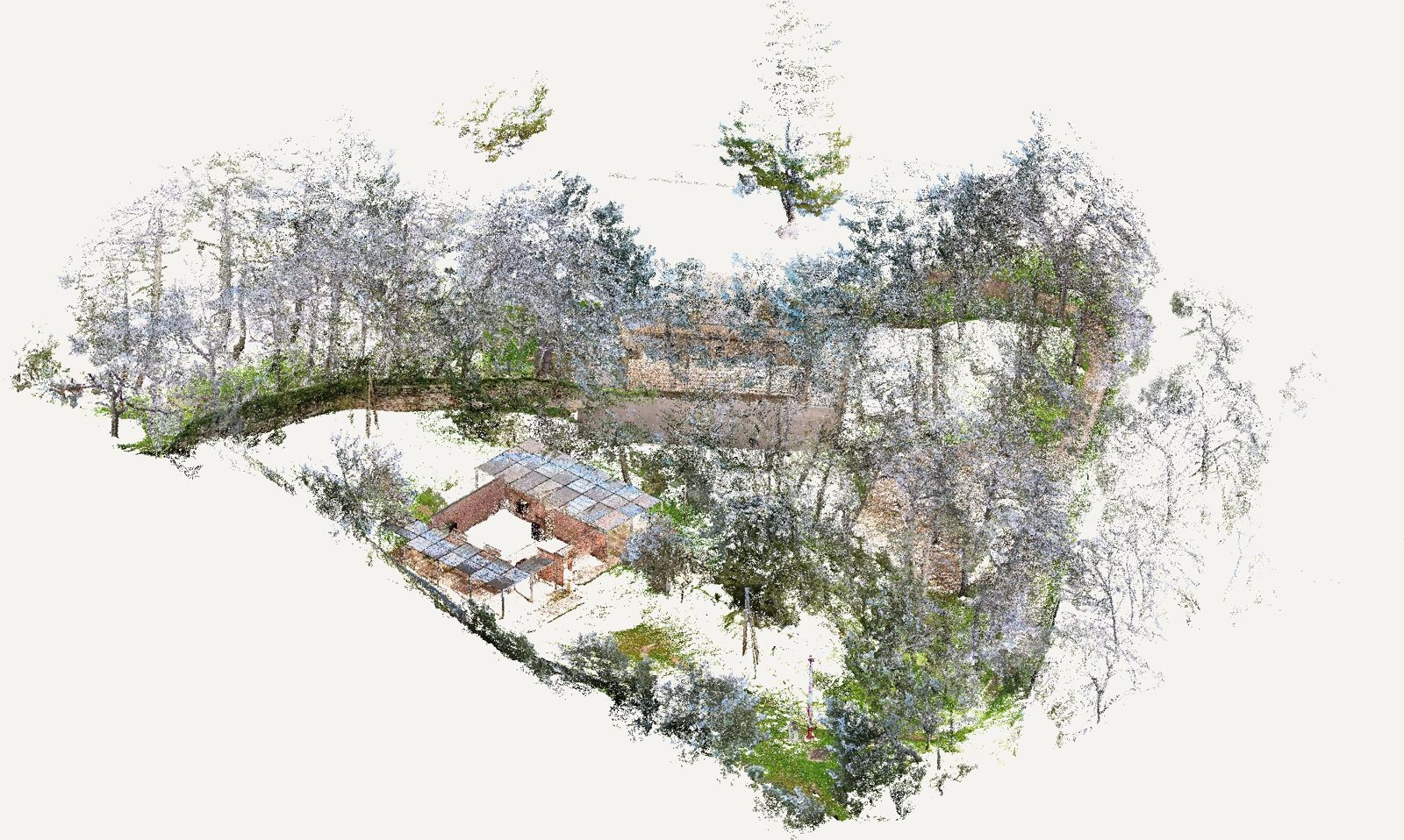
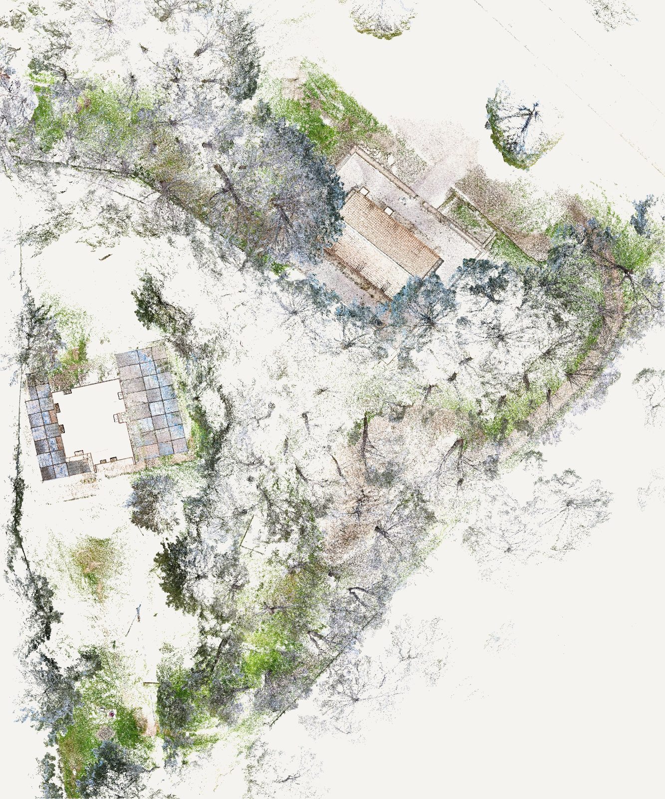
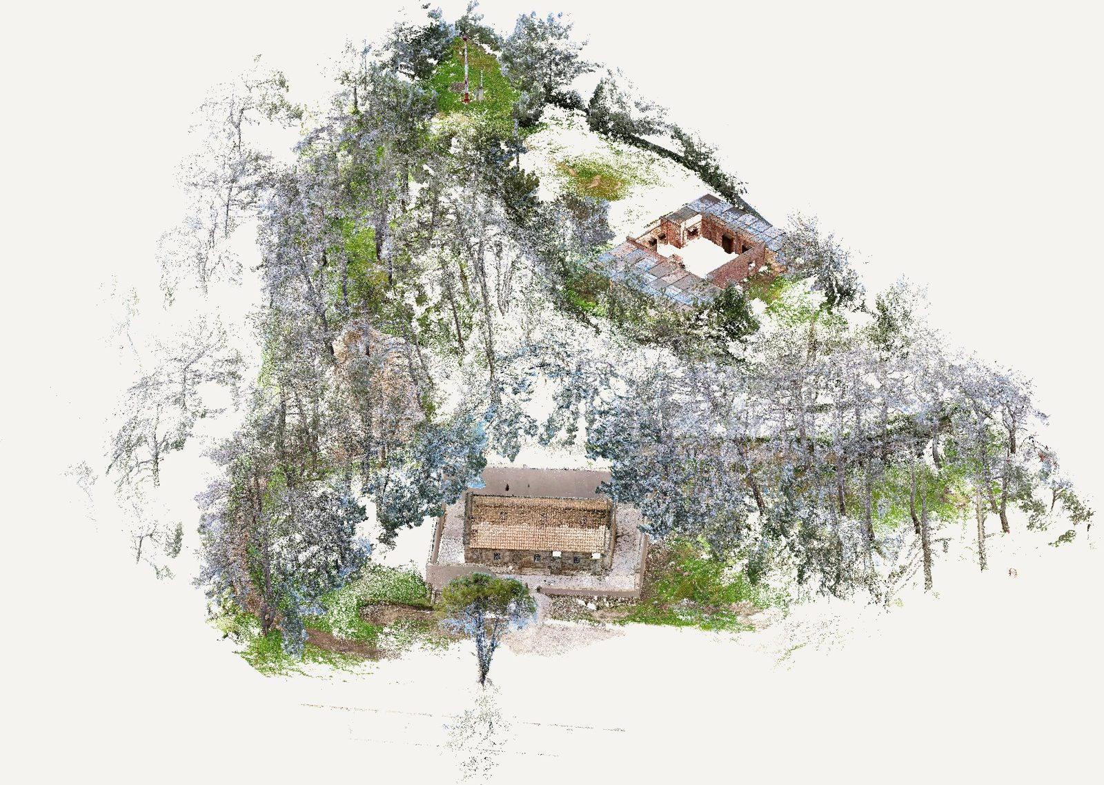
A coloured point cloud of buildings and grounds captured with handheld SLAM LiDAR, as the base for the fire safety study.
The site has dense vegetation, multiple levels and scattered buildings. Four scan runs captured buildings, paths and slopes in a few hours, georeferenced to control points.
The same point cloud yields plans, sections, escape distances and the fuel load of vegetation around the buildings.
The same point cloud yields plans, sections, escape distances and the fuel load of vegetation around the buildings.
Services provided
- Surveying & as-built documentation
Case study
- Challenge
- The fire safety study needed the geometry of buildings, paths and slopes on a site with dense vegetation, many levels and scattered structures.
- Technical approach
- Four handheld SLAM LiDAR scan runs, georeferenced to control points and merged into a single coloured point cloud.
- Key findings
- Plans, sections, escape distances and the fuel load of vegetation around the buildings were all derived from the same point cloud.
- Deliverable
- A georeferenced point cloud and base drawings for the fire safety study.
- Value to the client
- One dataset for every need of the study, with no return to site for missing measurements.
Gallery