Handheld LiDAR building surveys: plans and sections
Scope
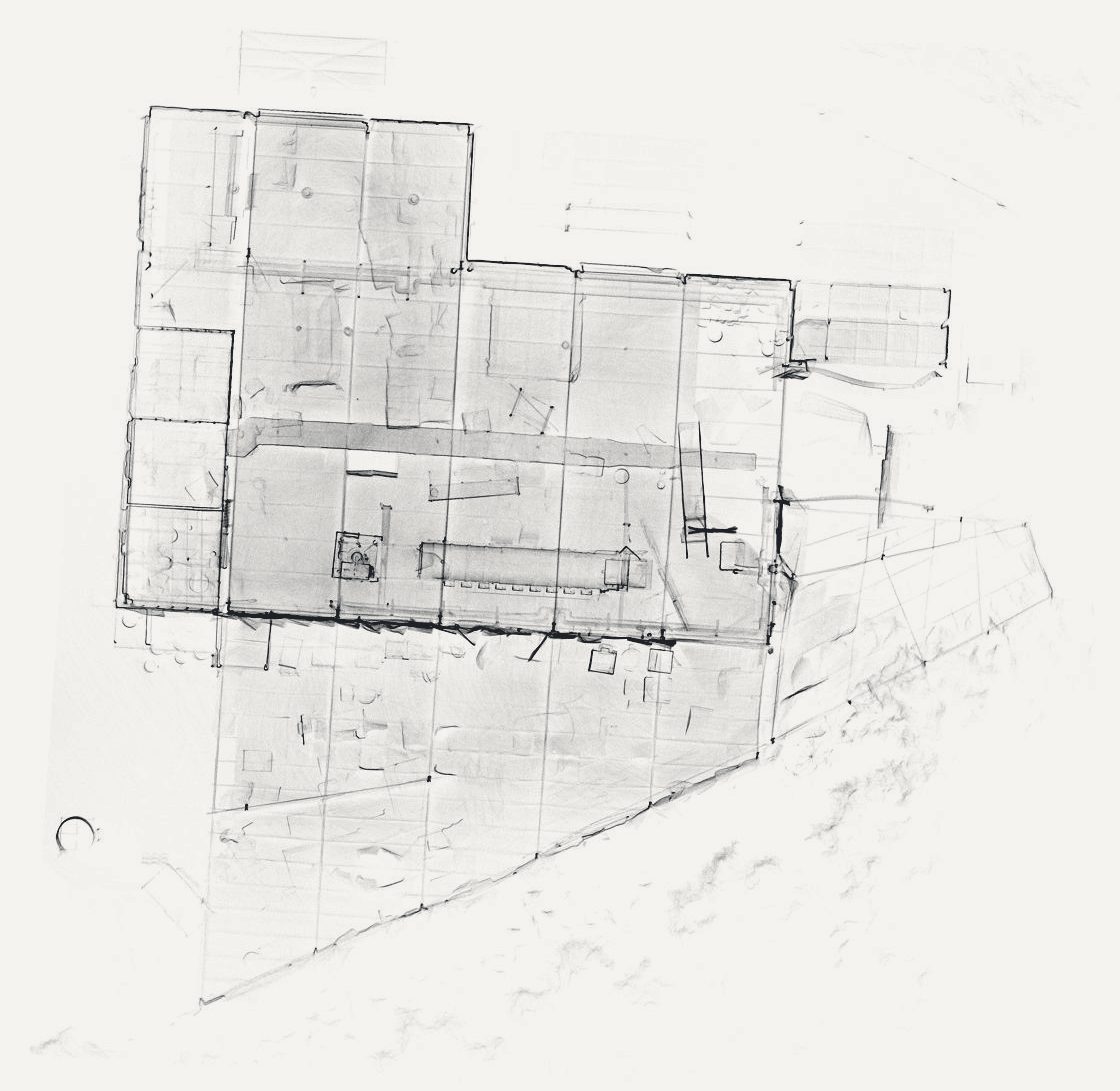
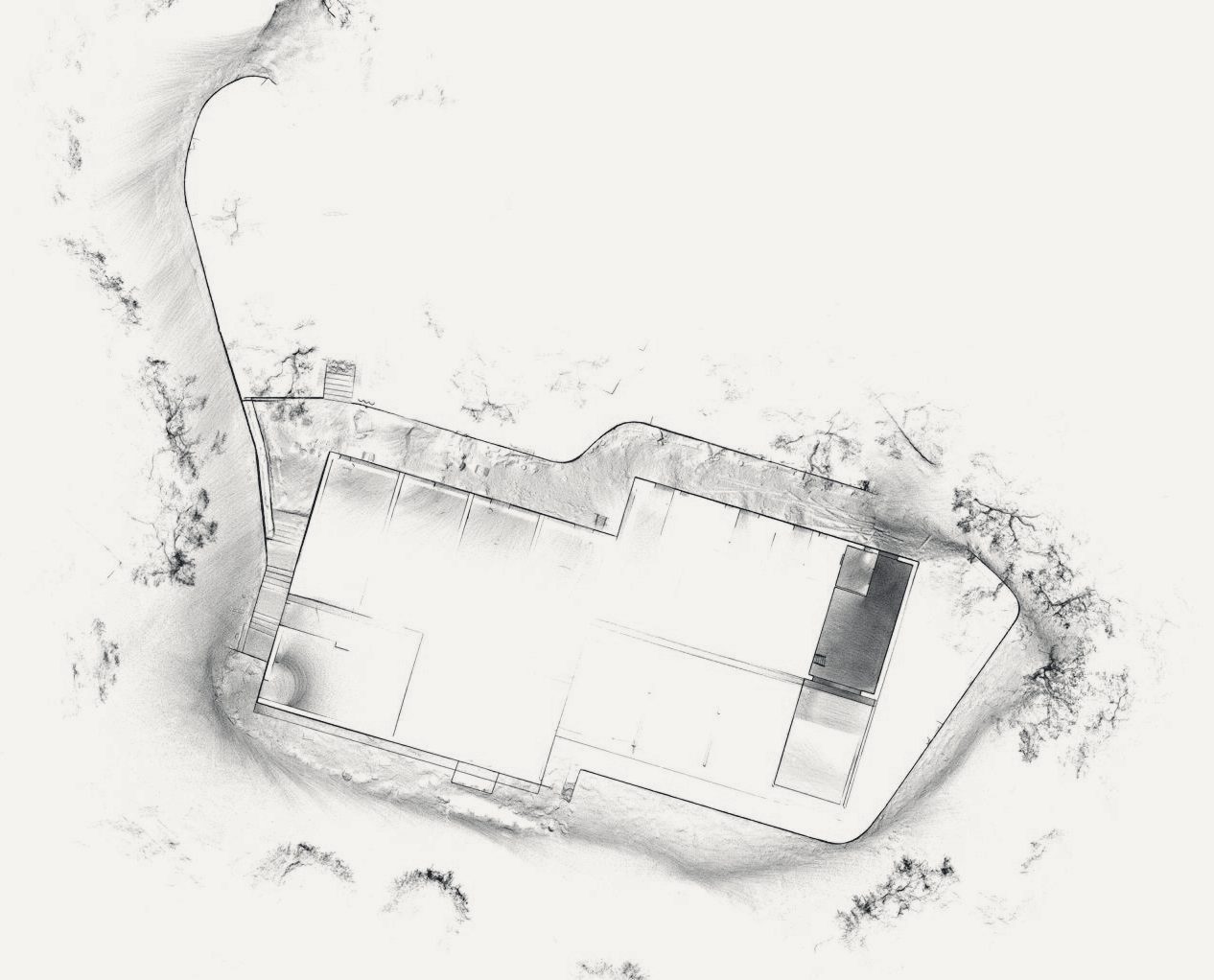
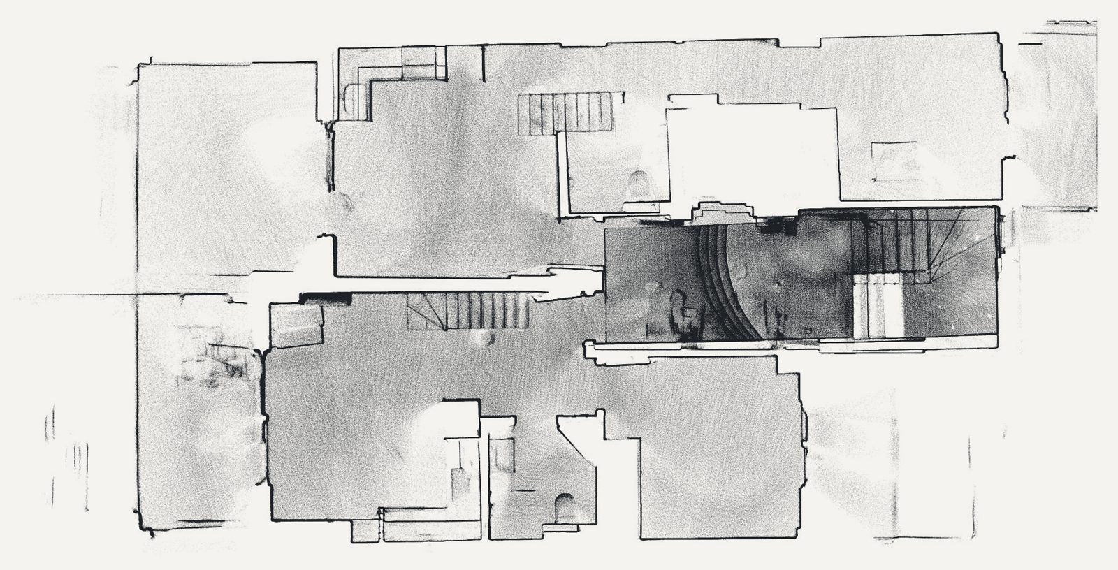
Horizontal and vertical slices from point clouds, used as the base for architectural, structural and legalisation drawings.
For buildings without drawings or with many alterations, a single scan covers every floor. Slices through the point cloud are drawn directly in CAD, with no second visit.
Services provided
- Surveying & as-built documentation
Gallery