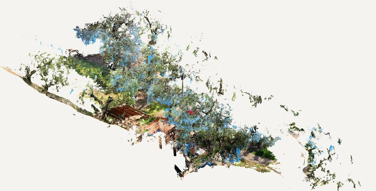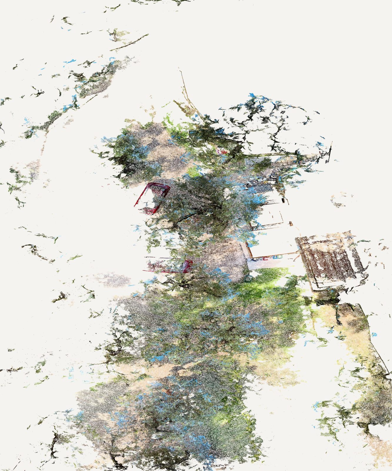
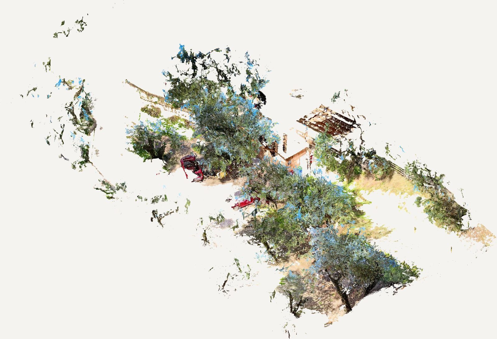
LiDAR survey of farmland and its access road
Scope
A point cloud of a large area of crops, terraces and road, for the topographic plan and buildability study.
The survey was captured in five runs and merged into one point cloud, from which we produced the topographic plan, slopes and the access-road profile that was critical for plot compliance.
Services provided
- Surveying & as-built documentation
Case study
- Challenge
- To establish whether a large rural plot could be built on, the profile of its access road, critical for plot compliance, had to be documented.
- Technical approach
- A handheld LiDAR survey in five runs, merged into one point cloud, producing the topographic plan, slopes and road profile.
- Key findings
- A complete picture of the terraces, the slopes and the true geometry of the access road.
- Deliverable
- Topographic plan, slope map and long section of the access road.
- Value to the client
- A documented basis for the buildability review, before any design spending.
Gallery