Drone survey and topographic plan within a settlement
Scope
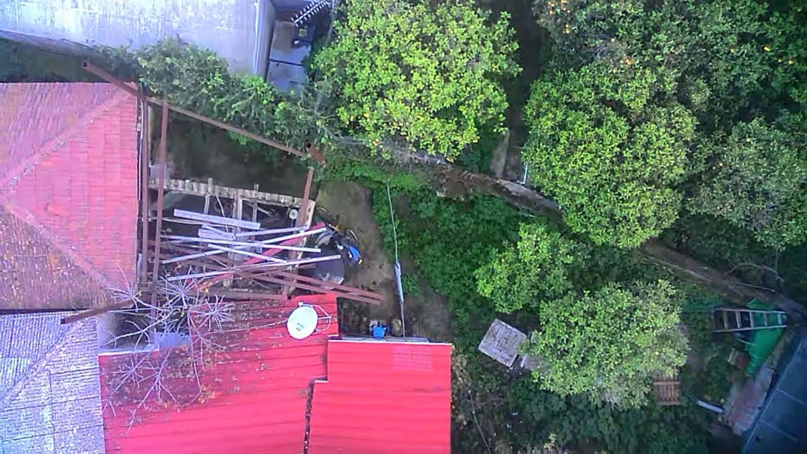
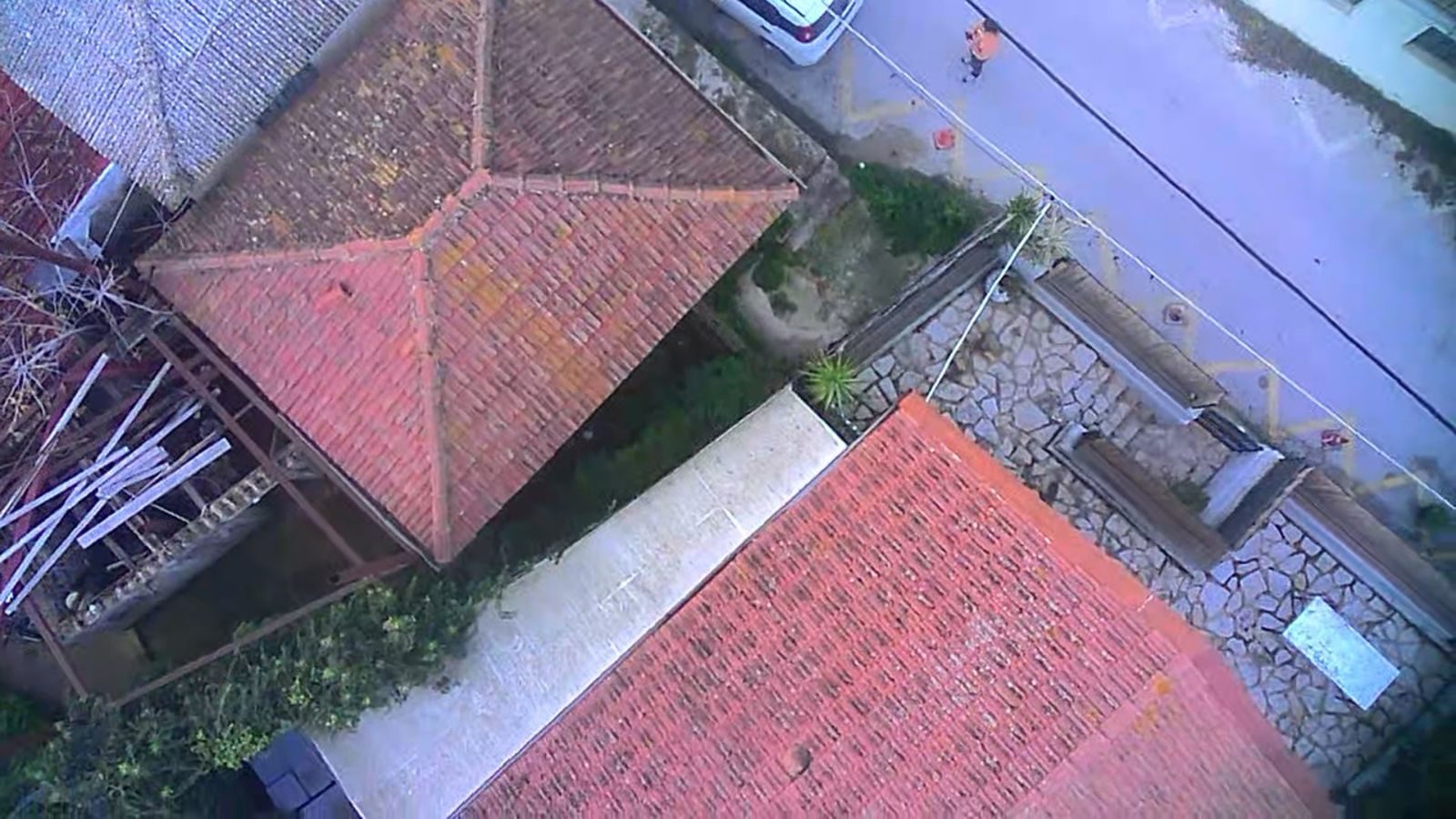
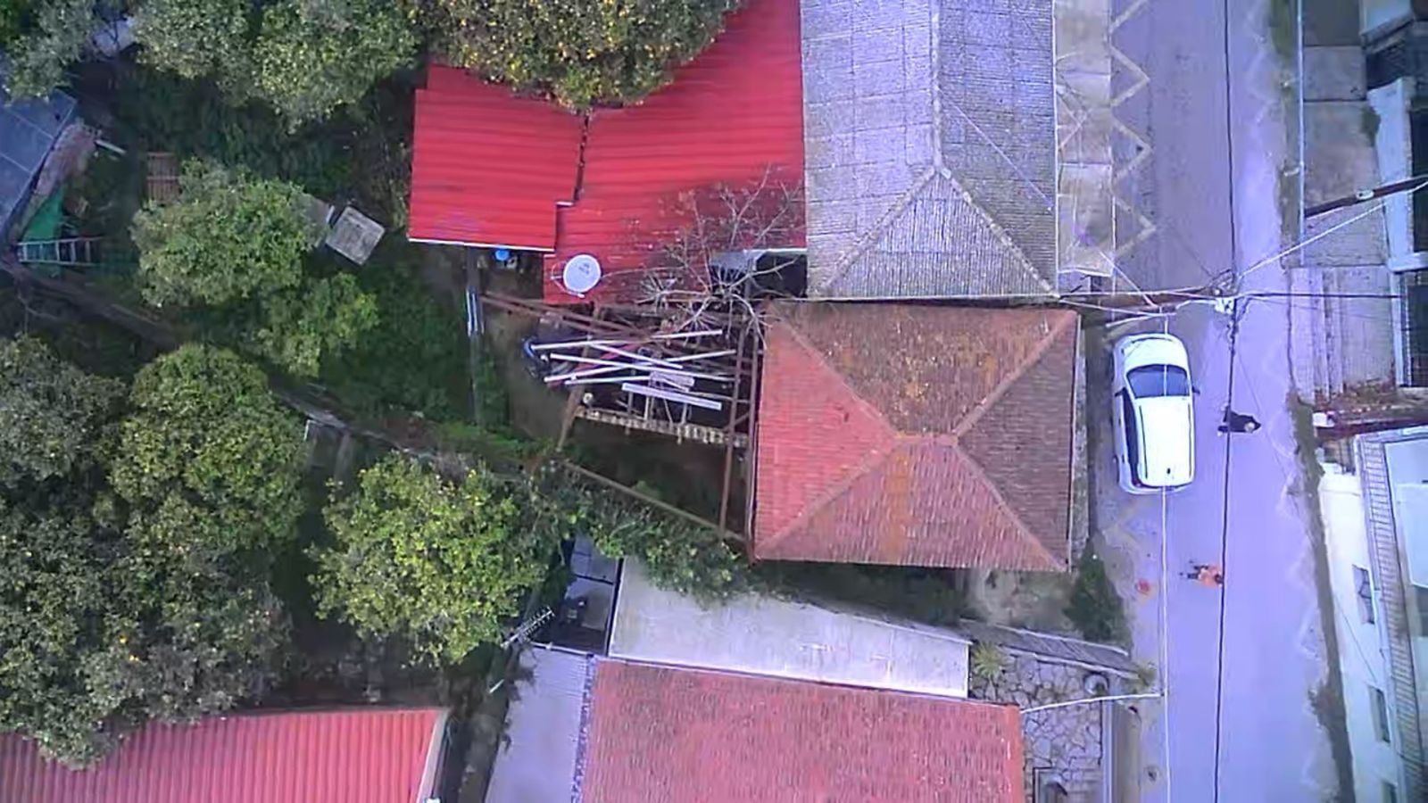
Vertical drone imagery to capture roofs and boundaries in a dense settlement, combined with the topographic plan and a town-plan check.
In a dense settlement of roofs, courtyards and trees, the drone gave the true picture of boundaries and structures. This was combined with the deeds, the settlement gazette and the town plan to produce the topographic plan.
Services provided
- Surveying & as-built documentation
- Building permits & regulatory compliance
Gallery